|
Scenic USA - Minnesota Gooseberry Falls |

| Photos by Ben Prepelka Ben Prepelka Photography |
Recognizing the strong popularity of the Gooseberry River area and Minnesota's most scenic North Shore, government officials made a successful push to obtain the Gooseberry property in 1933. Mirroring the efforts in parks all over the United States, Roosevelt's CCC descended on Minnesota's Gooseberry River to reshape the area. The corps was responsible for roads, trails, park buildings and a huge granite retaining wall, now called the Castle in the Park.  Officially, in 1937, the park was named Gooseberry Falls State Park.
This area was first placed on a map in 1670 by French explorers, but geologically, its history dates back at least a billion years. Here at the Midcontinent Rift, the earth's crust thinned and a great riff split open, sending hot lava onto the surface land. Today, the dark basaltic rock is seen here, especially where the Gooseberry River cut a deep gorge into the thick bedrock.
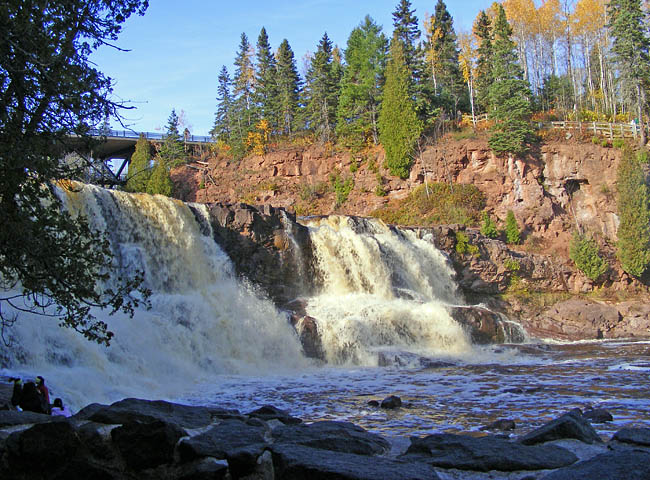
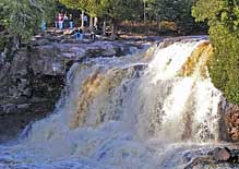
Without a doubt the most popular feature of the park is the three-tiered Gooseberry Falls. Located within a short walk, the mid and lower falls are easily reached, making this one of the most visited sites along the ever-popular North Shore. Campsites, RV sites and group sites are available throughout the year, and the 1675 acre park supports 18 miles of hiking trails and eight miles of mountain bike track.
Area Map

|
Additional Points of Interest |
Scenic USA Prints from
|
Copyright © 2020 Benjamin Prepelka
All Rights Reserved

