|
Scenic USA - Colorado West Elk Loop |

| Photos by Roger Gillette |
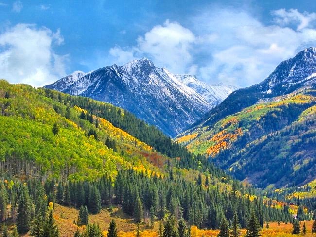
After a drive through some of the highest Rocky Mountain peaks in Colorado, it's hard to believe this area was once a level seabed. The period of the Rocky deformation is known as the Laramide Orogeny, reaching its zenith about 60 million years ago. It is thought that the forces of crustal buckling  formed this mountain range. However, sightseers don't need to know much about geology to appreciate this incredible Rocky Mountain scenery.
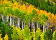
The natural beauty of these mountains is enjoyable anytime of year, but it seems extra special during early autumn when aspen trees are covered in golden foliage. The twisting mountains roads add more excitement in this high-country. While most Rocky Mountain highways have the qualities to qualify as scenic byways, the state has pinpointed 26. This majestic mountain view is found along Colorado's West Elk Loop (CO Rts 133/92/US-50/135/12), just east of McClure Pass, south of the town of Carbondale. The 205 mile scenic byway will take the better part of a day to drive, but with the number of attraction en route, this drive may take a few days. While enjoying the natural beauty of the land, byway travelers may pause for a little bit of history in the towns of Carbondale, Hotchkiss, Crawford, Redstone, Gunnison, and Crested Butte. Named after the Elk Mountains, the scenic byway offers travelers a look at a cluster of 11,000 and 12,000 foot mountains, with highest peak of West Elk Mountain just topping the 13,000 foot mark. In contrast, a short side trip from the southern section of the route leads to one of the deepest gorges in the area. Here the sun rarely penetrates the 2700 foot depths at the Black Canyon of the Gunnison National Park.
Area Map

Copyright © 2020 Benjamin Prepelka
All Rights Reserved
