|
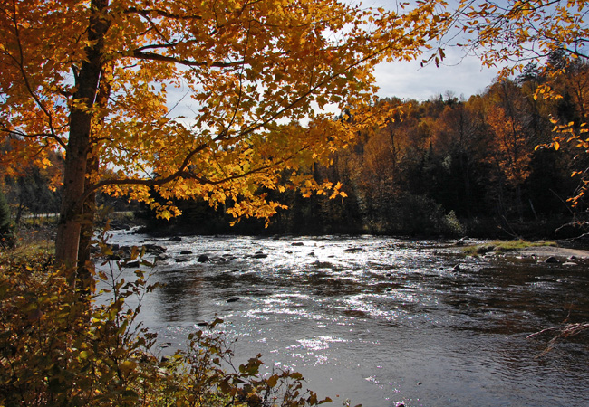
Scenic USA - New York Ausable River |

| Photos by Ben Prepelka Ben Prepelka Photography |
Made up of both private and public land, the Adirondack Park  covers an immense oval in the upper northeast corner of New York State. Its six million acres, the largest assemblage of wilderness land east of the Mississippi, is a montage of woodlands, sparkling mountain streams, sky-blue lakes, waterfalls and some of the highest mountain peaks in the state. The huge swath of forestland is sectioned off by a half dozen meandering two-lane highways, the perfect avenue to explore this vast wonderland.
Running north and south, New York's Route 30 almost divides the park in half, while several other routes also carve up the park. Routes 9 and 73 follow the East Branch of the Ausable River and pass through the High Peaks Region. Here, the first four miles of the East Branch are especially scenic, but it's the southern end of Route 73 that passes the Cloudsplitter (Tahawus), Mount Marcy.
Route 86 continues northward from Lake Placid along the High Peaks Byway,  following the West Branch of the Ausable River. The Ausable has chiseled away at Wilmington Notch, creating a gorge rises 700 feet on one side of the river and 1700 on the other. Whitewater challenges, mountain climbing, and excellent trout fishing draw in the sports-minded, while the incredible scenery makes this a popular Adirondacks sightseeing destination. The High Falls Gorge is one of the standout features on the West Branch, where the river plunges 125 feet at the main falls. A tourist attraction since the 1890s, the falls and the Grand Flume add more excitement along the Ausable River.
Area Map

|
Nearby Points of Interest |
Scenic USA Prints from
|
Copyright © 2020 Benjamin Prepelka
All Rights Reserved

