|
Scenic USA - South Carolina Columbia Riverfront Park |

| Photos by Ben Prepelka Ben Prepelka Photography |
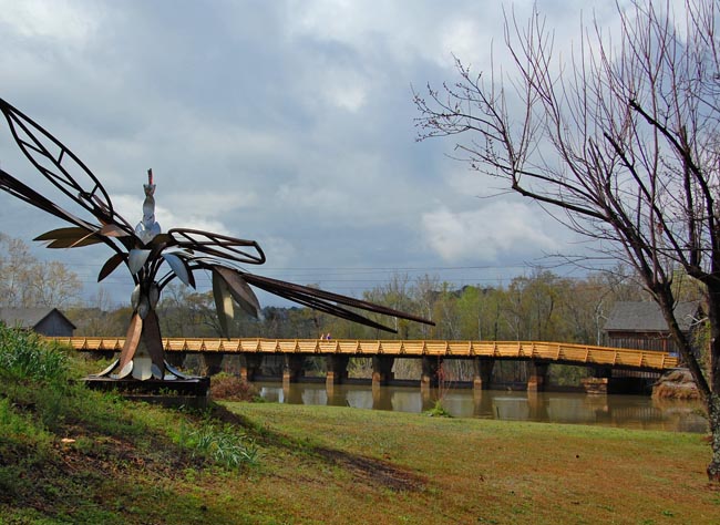
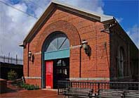
 Columbia’s Riverfront Park, located where the Broad and Saluda rivers join to form the Congaree River, follows the Columbia Canal. This 167 acre linear city park is popular among joggers, walkers and bicyclists. A boardwalk bridges the canal and passes the original waterworks and hydro-electric plant. Part of the Three Rivers Greenway, this series of riverfront pathways has been recently named as one of the country’s most promising ways to reconnect Americans to the natural world.
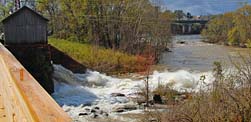
The canal and a series of locks were built in the 1820s to bypass unnavigable river rapids. Hundreds of Irish indentured servants where brought into Columbia to help dig the canal and built the infrastructure. Unaccustomed to the heat and humidity, many workers succumbed to heat exhaustion and disease. Those that survived formed a large Irish community that was eventually dubbed Little Dublin. Just over three miles long, the Columbia Canal became an important transportation corridor until  it was supplanted by the railroads. Reconstructed between 1888 and 1891, the canal provided electricity to the first hydro-electrical powered textile mill. An important source of water for Columbia, Abram Blanding is credited with developing the first waterworks, pumping water to city residents using a steam powered engine.
Today, the Columbia water treatment plant still draws millions of gallons of water from the canal every day. The canal also continues to provide hydroelectric power for Columbia residents.
Area Map

|
Nearby Points of Interest |
Scenic USA Prints from
|
Copyright © 2023 Benjamin Prepelka
All Rights Reserved

