|
Scenic USA - Colorado Grand Mesa Scenic Byway |

| Photos by Ben Prepelka Ben Prepelka Photography |
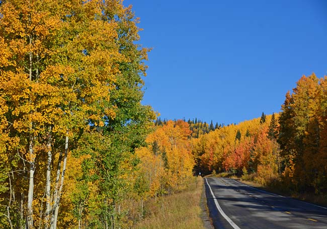
Leaving Interstate 70 and the bustle  of Grand Junction, Colorado sightseers quickly get an idea of what they're in for after seeing the names Grand Mesa, Powderhorn Ski Resort, Land's End and Plateau Canyon. Averaging 9000 feet elevation, Grand Mesa Scenic and Historic Byway visitors quickly climb from Exit 49 to the heights of the world's largest mesa. Passing through miles of forestland, the byway introduces travelers to a string of small towns and a unique gathering of shops and attractions.
  Enjoy locally grown fruits and vegetables, an apple fest or Pioneer Town at Cedaredge, Mesa's country market, the Land-O-Lakes Overlook, and the incredible views from Land's End.
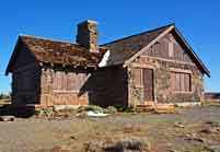
Here among old growth forest of aspens,  white ash and evergreen, byway guests are treated to a splendid mix of Rocky Mountain scenery, picture perfect golf courses, 400 miles of hiking trails, local winery tours, a visit to the historic Mesa General Store or fishing in one of the area's 300 lakes and reservoirs.
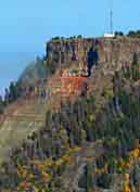
A short byway spur leads to the top of the world and Land's End Ranger Observatory. This narrow, winding road, riddled with potholes, and not recommended for larger vehicles, leads to a remarkable panorama of western Colorado. From this grand perch, sightseers may also see Utah’s La Sal Mountains and the majestic San Juan Range. Although the byway is just 63 miles in length, there's plenty to see and experience on the top of Grand Mesa.
Byway Map

|
Additional Area Attractions |
|
Copyright © 2021 Benjamin Prepelka
All Rights Reserved
